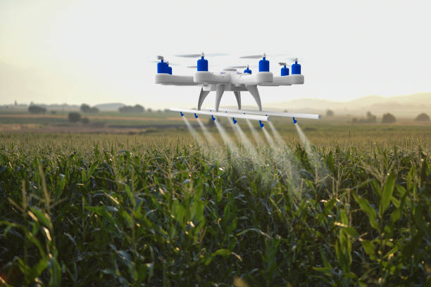
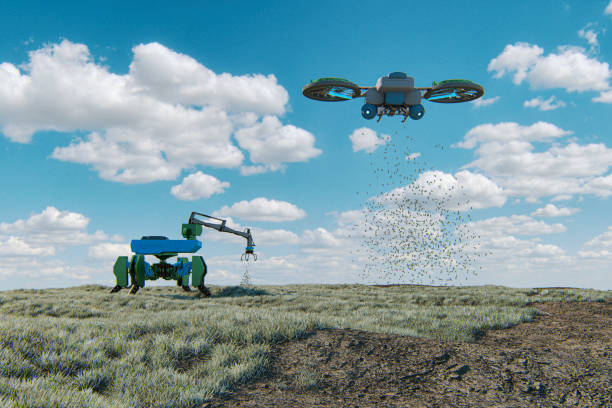
Agrigain Smart farming is changing the old ways of taking care of your fields By inspecting small scale farmers fields from above, farmers can now gain and collect data much more efficiently than with traditional methods, Gathering and analyzing data influences decision-making and improves yield. These processes are now as accurate and efficient as ever due to better software, sensors, and drones Gathering and analyzing data influences decision-making and improves yield
How we implement
single drone flight can produce up to 4000 individual images that are turned into maps with our postprocessing software The images are geo-referenced by adding coordinates to each image for maximum geographic location precision and then stitched together into orthomosaics. That is, the software aligns various overlapping pictures based on their geo-coordinates and reference points, creating 2D and 3D maps The findings can then be used directly or integrated into planning software that gives prescriptions and recommendations. This ensures smooth and efficient decision making and realization based on the processed data.
Main applications of drones in smart farming
With the help of an unmanned aerial vehicle (UAV), we represent farm areas in maps for pest and weed
monitoring, vegetation mapping, irrigation, and soil erosion management. The drone-made maps help
keep track of the health of our small scale farmers plants and also display changes or dangers before
they get out of control.
-Crop health scouting
Our Drone crop inspection is one of the most efficient and effective ways to gain knowledge of crop
health and pest activity throughout the cultivation process. With multispectral sensors we capture the
light beyond the visible part of the light spectrum. This allows us to take action before problems even
become visually noticeable and escalate. For example, too little nutrients in a plant result in insufficient
photosynthesis, which can be seen in a small section of the red light band of our multispectral imagery.
-Yield estimation
Our Smart farming using accurate RGB sensors helps us estimate yield more productively for our small
scale farmers even before the harvest. By providing a visual representation of their farm area, using
standard RGB They produce images of a crop field or a forest similar to what we see with our eyes.
Proper sensors, storing the largest amount of pixels, ensure the most detailed aerial pictures. With
suitable photogrammetric software, they result in accurate yield estimation maps that help predict stock
volume and yield.
-Irrigation and soil management
Water and fertilizer wastage, under-irrigation, or machinery failures can damage plants. drone assists us
in spotting soil and irrigation problems before they critically harm the farm While detailed soil
investigation still requires soil sampling, drones with multispectral and RGB remote sensing let us find
the hot sports. Analyze mineral levels, dangerous topsoil degradation, and any typographical changes
before they lead to irreversible damage
Business Aims:
1. Increased Crop Yield: Agrigain Locura Ventures aims to leverage technology and training to significantly enhance crop yields, ensuring food security and economic prosperity in the regions we operate.
2. Improved Crop Quality: Through our dedicated product line and stringent quality control measures, we strive to improve the overall quality of agrocommodities in the Nigerian market, building trust among consumers.
3. Increasing Farmers' Average Income:* Empowering small-scale farmers with necessary inputs, knowledge, and technological tools, we aspire to elevate the average income of farmers in our network, fostering sustainable agricultural practices.
Agrigain Locura Ventures is not just a business; it is a catalyst for positive change in Nigeria's agricultural landscape. Through innovation, impact, feasibility, and sustainability, we are sowing the seeds of a brighter and more prosperous future for local farmers and the nation as a whole.